GUIDING YOUR CLIENTS WITH CUSTOMIZED MAPPING SERVICES AND GEOGRAPHICAL DATA
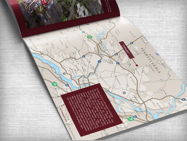
Ready to craft a customized vector map for your property or business? Whether it be for a realtor to showcase certain properties, a business looking to display a facility or company headquarters in a new visual context, destination marketing, or another need at hand, it’s imperative that you work with an agency that can lead you in the right direction.
Our vector maps feature the most detailed up-to-the-minute geographic information including major and secondary roads, landmarks, water features, railroad tracks, and more -- all integrated with your personal data and information to create the most useful tool for your target audiences. To ensure we have the most accurate information, we collect a plethora of data from public sources from local government, Google, ESRI mapping software, and private sources.

Looking to gain a bit more data about a certain region or property? Panda Concepts also utilizes geographic information systems (GIS) for realtors, investors, asset managers, and retailers to analyze and better understand demographics in specific regions. From spatial analysis to statistical data, we have you covered with all the information you need to know about your selected region to make informed and educated decisions about purchase and/or development.
Use the Power of Panda to pave the way in creating quality vector maps and collecting the most accurate information about any geographic region. Click here to view past projects.


